Crabtree Falls, Virginia
There are two ways to access Crabtree Falls. From Route 56, a winding two lane highway, there is a parking area at the bottom of the falls and a trail maintained by the National Forest Service. Lesser known is Forest Road 826 that leads to Crabtree Meadows and the upper trail head.
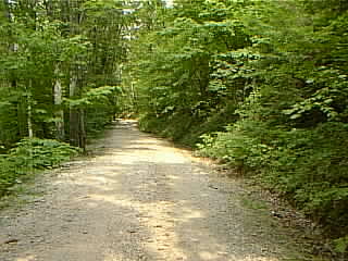
This is the back road to Crabtree Meadows and the parking area. Four wheel drive vehicles will have not a problem but some cars, especially ones with little clearance underneath, may scrape bottom. There are three places where you have to cross water on this road and it's not unusual to come across fallen trees, branches or large rocks. |
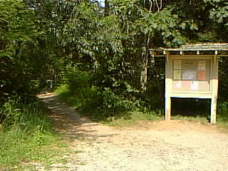
Once at the parking area it is easy to spot the trail head leading to the falls. Stop at the bulletin board and read up on any news from the Forest Service. |
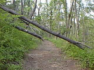
Don't be surprised if there are downed trees. Also, you'll find several unofficial "side trails" along the stream. The main trail is marked with blue paint blazes on the trees. It's about a mile from Crabtree Meadows to the top of the falls. |
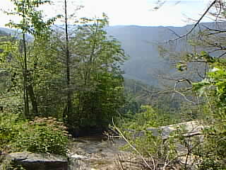
The view from the top of Crabtree Falls. The trail continues down the falls to the lower trail head and parking area. |
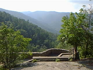
There is a bridge that crosses over the stream and leads to this wonderful lookout. There are benches to sit on and rocks to scramble up. |
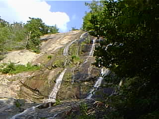
The Summer of 1999 was rather dry and there wasn't much water flowing down the falls. But catch it in the early spring when the snow is melting or after a heavy rain and you'll see one of the most spectacular falls in the Blue Ridge! |
